
New Ireland is one of the Melanesian Islands in the Pacific region. The region of Melanesia encompasses several islands and archipelagos northeast of Australia. The largest and best- known island is New Guinea, which is divided politically into Papua New Guinea and West Papua (part of Indonesia).
The northern part of Papua New Guinea was a so-called German "protectorate" from 1885 to 1898, named Kaiser-Wilhelms-Land. Several other Melanesian islands off the east coast of Australia, such as New Britain (formerly New Pomerania) and New Ireland (formerly New Mecklenburg), were also under German colonial rule. The Islands were merged to form the colony of German New Guinea in 1899, which existed until 1914.
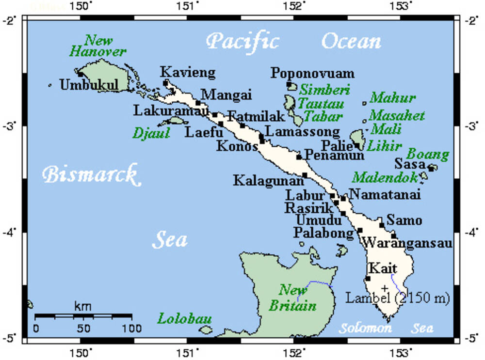
New Ireland is located on the eastern edge of the Bismarck Archipelago. The island expands 470 kilometers from northwest to southeast and is only 10 kilometers wide at its narrowest point.